 |
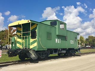
| Missouri-Kansas-Texas Railroad Caboose |
While the Capitol was under construction in Jefferson City, MO from June 1821 through October 1826, St. Charles served as the state's seat of government and is full of history. It is in St. Charles that we often stop to ride the Katy Trail. At 237 miles in length, the Katy trail is the longest Rails-to-Trails trail in the United States. It stretches from Clinton, MO to St. Charles, MO and is the longest non-motorized public portion of the Lewis and Clark Trail.
Monday, October 1, we made a two day stop in St. Charles at Sundermeier Campground which has direct access to the Katy Trail. Chris and I have ridden portions of the trail on multiple occasions since our first ride of 80 miles in 2009. Tuesday we drove to an access point at the Page Bridge to begin our ride.
Chris takes off from the parking lot down toward the trail.
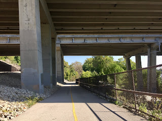
From the parking lot the path is asphalt and concrete as it winds downhill to the trail. Once we get to the trail we are at water level and ride east alongside the Missouri River toward St. Charles.
 |
| Page Bridge as seen from the Katy Trail |
We are both riding trikes and found the crushed limestone trail to be fairly smooth. There were times that the crushed limestone was more like gravel and a little bumpy, but not too often.

The trail is beautiful! We started our ride around 11:00 a.m. and it was 81 degrees F. The trees provided shade and lovely canopy.
On our way to St. Charles the trail curves around the Family Arena.
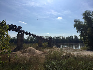
The pics below are of a conveyor harvesting sand from the river.
Here the abandoned railroad is seen next to the trail.
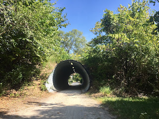
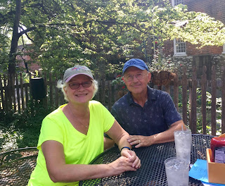
This portion of the trail was very scenic with a tunnel, several bridges, beautiful trees, and views of the Missouri River. Around 11:45 we stopped for lunch in historic downtown. We had sandwiches outdoors at the Old Millstream Inn Restaurant.
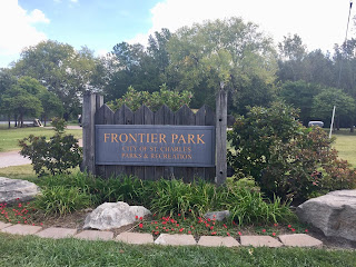
After lunch we biked over to Frontier Park where there are annual re-enactments of the beginning of the Lewis and Clark expedition.
Octoberfest was this past weekend. Thus all the little blue buildings. Ha!
This monument is to Captain William Clark, Captain Lewis and his dog, Seaman, as they face the mysteries of the unknown West.
 |
| The old train station in St. Charles |
A barge floats down the Missouri in the area where the explorers are said to have begun their journey.
Did I mention it is a pretty warm day today? Well, it is in the 80's and that qualifies as warm in my book. Of all places to find in St. Charles we located a Kilwins on our trail. We toured a Kilwins in Petoskey, MI two years ago and have indulged at Kilwins in Mackinaw City, MI as well. Now we can add Kilwins in St. Charles, MO to the list.
 |
| Chris' flavor was Missouri Mud |
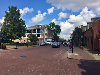
These pics give a glimpse of historical downtown.
From St. Charles we rode back to the Page Bridge area, passed up the climb to the parking area where we left the car, and proceeded to Greens Bottom, 2.7 miles ahead.
For a couple of miles the trail runs parallel to the river.
About a mile from Green Bottom the trail is parallel to farm land and newly harvested corn fields.
Fallen walnuts must be maneuvered around.
Upon arrival to our destination of Greens Bottom Road, we rested and hydrated, then turned around and biked back to the car. The ride was a total of 15 miles and it was a sunny 88 degrees F when we finished the ride. There was quite a steep climb from the trail to the car. If hills are difficult for a rider, it would be best to park at a trailhead in St. Charles or in Greens Bottom and ride.
Fun day! See ya next year, Katy!











No comments:
Post a Comment