Showing posts with label KATY Trail. Show all posts

Wednesday, October 3, 2018

Katy Trail - St Charles to Greens Bottom, MO

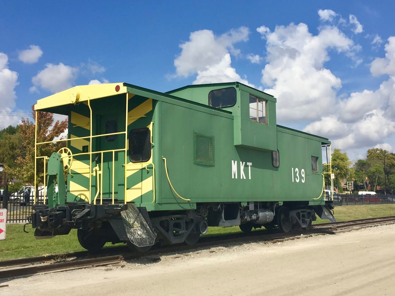
Missouri-Kansas-Texas Railroad Caboose
While the Capitol was under construction in Jefferson City, MO from June 1821 through October 1826, St. Charles served as the state's seat of government and is full of history.  It is in St. Charles that we often stop to ride the Katy Trail.  At 237 miles in length, the Katy trail is the longest Rails-to-Trails trail in the United States.  It stretches from Clinton, MO to St. Charles, MO and is the longest non-motorized public portion of the Lewis and Clark Trail.
Monday, October 1, we made a two day stop in St. Charles at Sundermeier Campground which has direct access to the Katy Trail.  Chris and I have ridden portions of the trail on multiple occasions since our first ride of 80 miles in 2009.  Tuesday we drove to an access point at the Page Bridge to begin our ride.
Chris takes off from the parking lot down toward the trail.
From the parking lot the path is asphalt and concrete as it winds downhill to the trail.  Once we get to the trail we are at water level and ride east alongside the Missouri River toward St. Charles. 
Page Bridge as seen from the Katy Trail
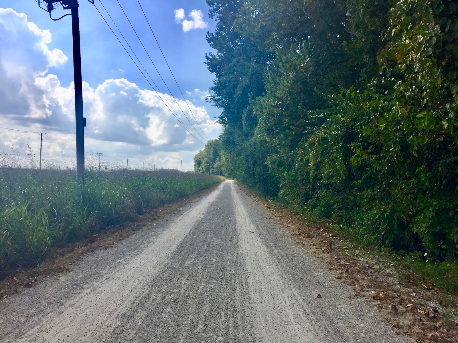
We are both riding trikes and found the crushed limestone trail to be fairly smooth.  There were times that the crushed limestone was more like gravel and a little bumpy, but not too often.
The trail is beautiful!  We started our ride around 11:00 a.m. and it was 81 degrees F.  The trees provided shade and lovely canopy.

On our way to St. Charles the trail curves around the Family Arena.  
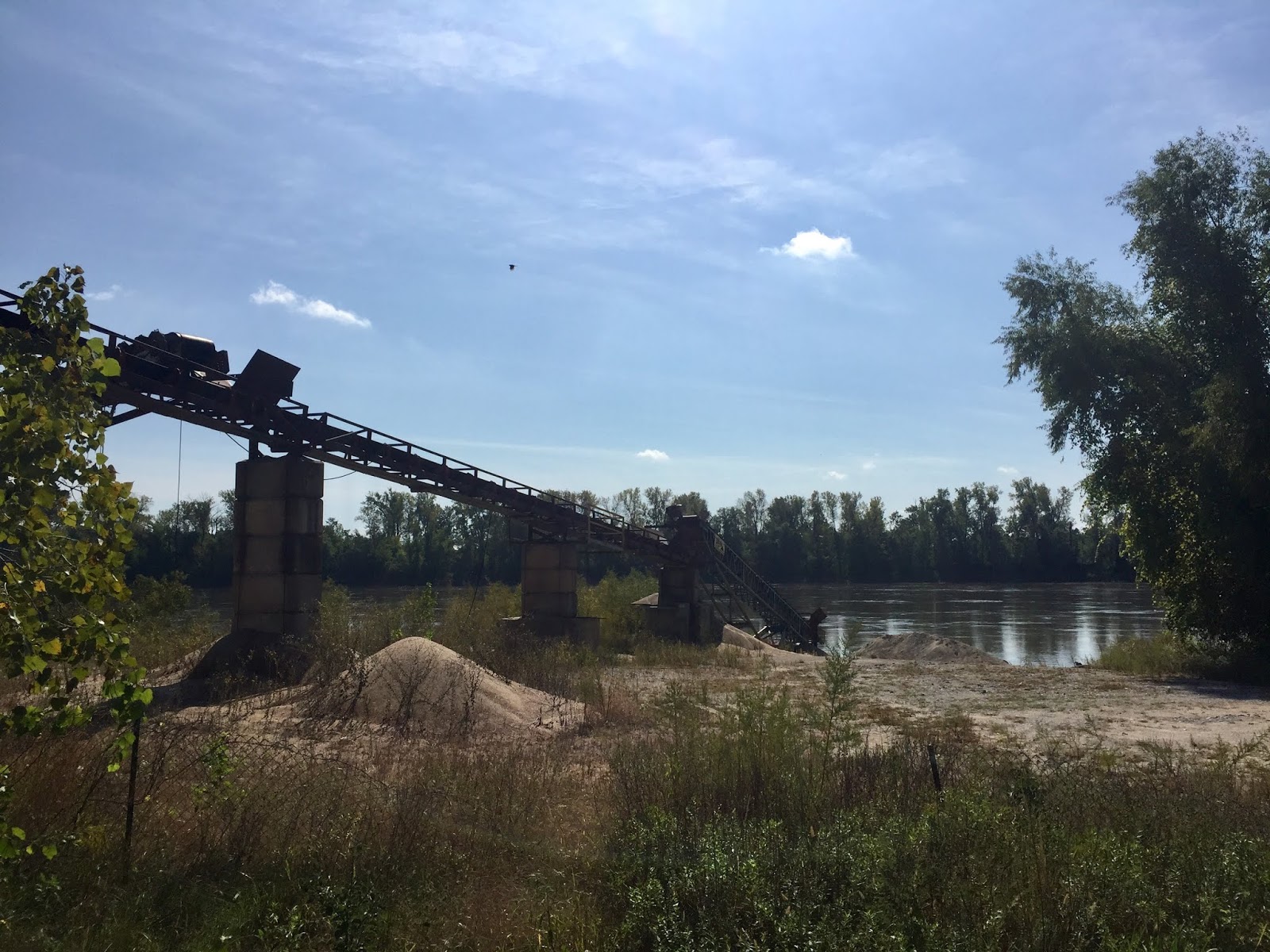
The pics below are of a conveyor harvesting sand from the river.


Here the abandoned railroad is seen next to the trail.
This portion of the trail was very scenic with a tunnel, several bridges, beautiful trees, and views of the Missouri River.  Around 11:45 we stopped for lunch in historic downtown.  We had sandwiches outdoors at the Old Millstream Inn Restaurant.

After lunch we biked over to Frontier Park where there are annual re-enactments of the beginning of the Lewis and Clark expedition.
Octoberfest was this past weekend.  Thus all the little blue buildings.  Ha!

This monument is to Captain William Clark, Captain Lewis and his dog, Seaman, as they face the mysteries of the unknown West.
The old train station in St. Charles

A barge floats down the Missouri in the area where the explorers are said to have begun their journey.
Did I mention it is a pretty warm day today?  Well, it is in the 80's and that qualifies as warm in my book.  Of all places to find in St. Charles we located a Kilwins on our trail.  We toured a Kilwins in Petoskey, MI  two years ago and have indulged at Kilwins in Mackinaw City, MI as well.  Now we can add Kilwins in St. Charles, MO to the list.
Chris' flavor was Missouri Mud

These pics give a glimpse of historical downtown.
From St. Charles we rode back to the Page Bridge area, passed up the climb to the parking area where we left the car, and proceeded to Greens Bottom, 2.7 miles ahead.
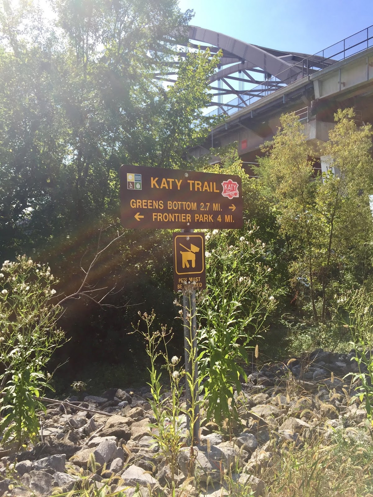
For a couple of miles the trail runs parallel to the river.


About a mile from Green Bottom the trail is parallel to farm land and newly harvested corn fields.
Fallen walnuts must be maneuvered around.
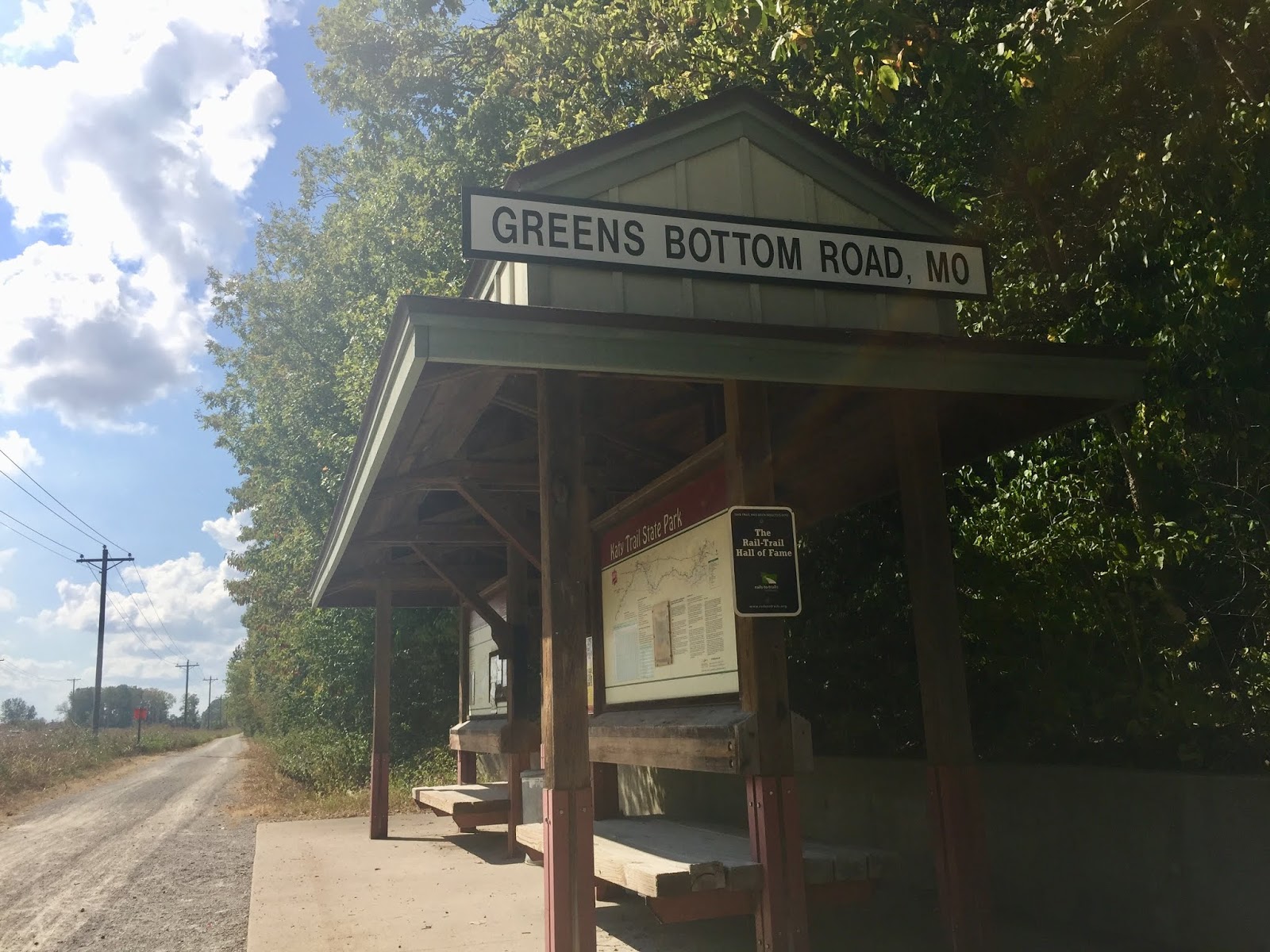
Upon arrival to our destination of Greens Bottom Road, we rested and hydrated, then turned around and biked back to the car.  The ride was a total of 15 miles and it was a sunny 88 degrees F when we finished the ride.  There was quite a steep climb from the trail to the car.  If hills are difficult for a rider, it would be best to park at a trailhead in St. Charles or in Greens Bottom and ride.
Fun day!  See ya next year, Katy!

Thursday, April 13, 2017

River Parks, Newblock, and KATY Trail - Tulsa (OK)

Tulsa Skyline from West Bank of Arkansas River
Tulsa bike trails are among our favorites (scenic, well maintained, and accessible).  Over the past several years the Tulsa Parks Department in cooperation with other local groups have done an outstanding job in developing a trail system where not only locals can enjoy the local beauty, but one in which out-of-town enthusiasts may also enjoy.

Our high on Wednesday was expected to be in the lower 70s with a mild wind (under 15 mph) so Chris and I took off to explore a trail to Sand Springs, OK.  Over half of the ride would be on trail that we have not previously ridden.

This year our northern trek will be a different route than previous years.  Chris has been investigating 5 or 6 trails along this new route that we have not previously ridden.  At least one of the trails has potential of about a 45 mile leg.  In Michigan we ride 36-38 round trip miles to New Era and back almost weekly.  We do not have our Michigan "legs" back yet. Between now and then we will work on increasing the length of our rides in order to prepare.

As we ride out of Cherry Hill Mobile Home Park it is a matter of crossing Elwood and we are immediately on the first leg of our ride.  This portion of the trail is the River Parks West Bank trail and leads to downtown Tulsa.  Both banks of the river are very pretty and have many rest areas available.


Chris waits while I snap pics
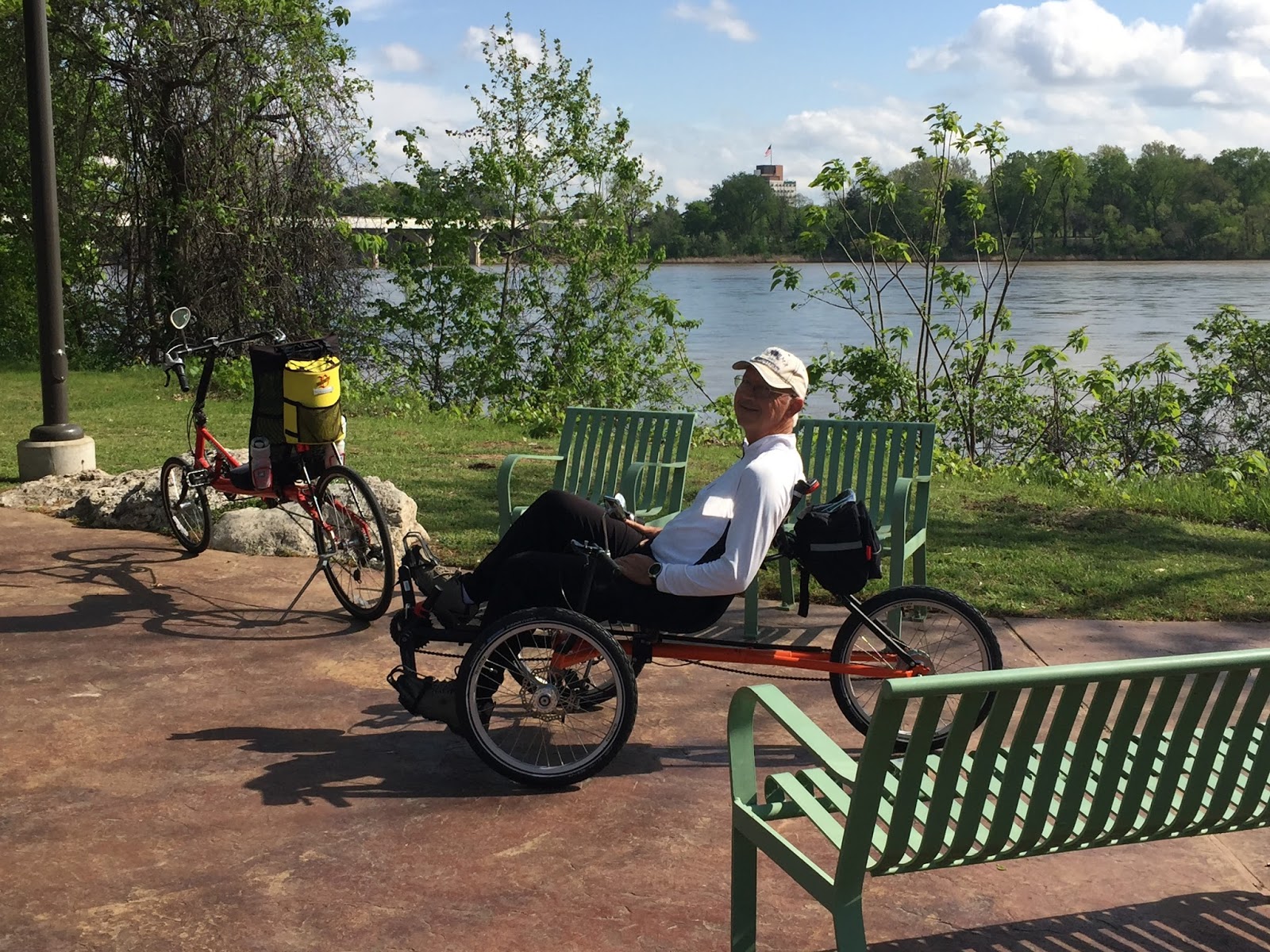
We are riding recumbents.  Chris is on the trike and I'm on the bike for this pic.  We switch on the hills so that I'm on the trike, mainly because I'm less likely to fall over on it as I'm trying to keep the bike in motion uphill.  I can even stop and catch my breath for just a minute on the trike without getting off!  Now that is sweet!

At the north end of the West Bank trail is the connector to the KATY.

Below the bridge over the Arkansas River and parallel to I-244 Chris took the above left picture of the Holly Frontier Refinery.  This part of the trail is somewhat isolated.  There are multiple train tracks, trains, and some workers.  The above right pic is of the bridge we use to cross the river.  On the other side of this bridge is the bridge over the old rail yard and begins the new part of the trail for Chris and I.
This bridge has recently been remodeled and leads to the 1.5 mile Newblock Park Trail. After crossing this bridge we have a pretty good hill to climb and a beautiful rest area shown in the next pic.

We stopped at this rest area (left) and took the pic on the right.
In the background of this pic is the Holly Frontier Refinery from the north east bank of the Arkansas River.


KATY trail in Oklahoma
The Newblock Park Trail then connects us to the KATY Trail.  The KATY is an old rail trail, meaning the grades are no more than 3-5%.  It spans 8.1 miles east and west from downtown Tulsa. We rode west toward Sand Springs.
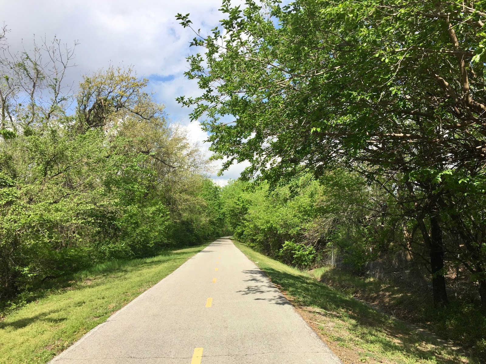
On the KATY trail in Oklahoma


The KATY trail in Missouri is one we have ridden almost annually.  The 237 mile crushed limestone trail is the longest rail trail in the United States.  To ride the paved KATY trail in Oklahoma was a very pleasant experience.

After riding 11 miles we came upon lunch options.  Wendy's or Billy Sim's?  Burger vs Barbecue?
The decision was not difficult for us.  BBQ for the win!  After lunch we turned around and headed home.  The map below shows the route we took today.  Actual riding time was 2 hr and 20 min.
This 22-mile ride is not even close to 45 miles, but we still have time to train.  Looking forward to our next trail!